
Certified Farms

Goldrock Ridge Vineyard
This 141-acre site was formerly an apple orchard. In 2004 the orchards were changed to vineyards. Large creek corridors and several seasonal wetlands were protected on the site.

Peay Vineyards
Brothers Nick and Andy Peay developed vineyards on less than 50 acres of this 280-acre site in 1996. This site was formerly occupied by apple orchards, grazing lands, and a homestead. Peay Vineyards encompasses the headwaters of five creeks and uses sediment basins and cover crops to conserve soil and protect water quality.
"We farm organically and have for the past 8 years. We are not certified, however. We are not dogmatic, black and white people, and farming on the coast means we are often thrown curve balls. If we needed to address something that threatens the vineyard – and there is no organic alternative – we would do it to save the vineyard. But we have not for 8 years.
Lastly, we use bio-diesel in our tractors. This allows us to minimize our reliance on certain fossil fuels at the expense of withstanding the smell of French fries while we work. We also power our vineyard and winery via solar panel arrays. Can you taste the effects of these last practices? Probably not, but perhaps the intention behind them."
Putnam Vineyards
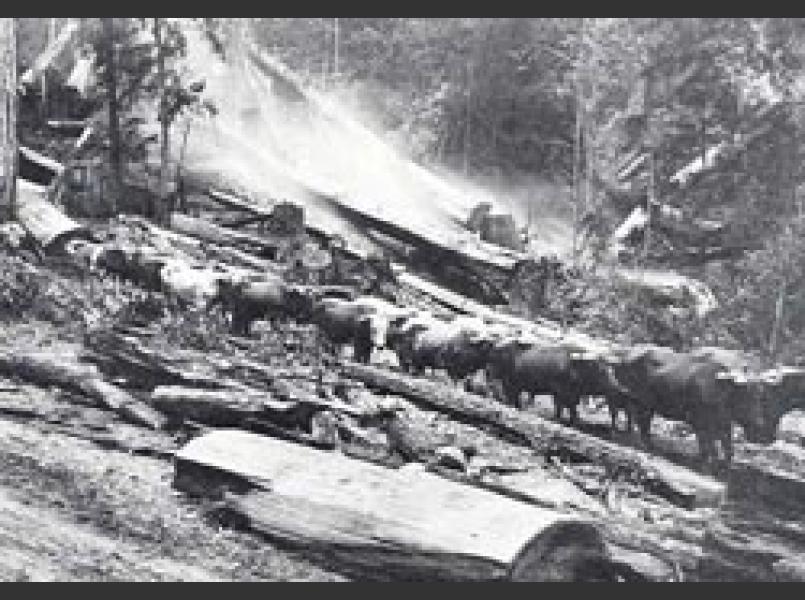
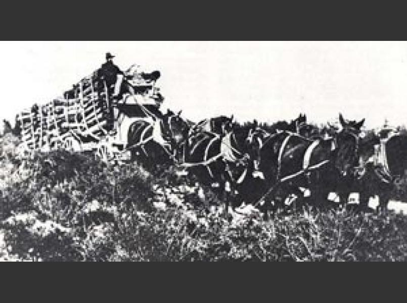
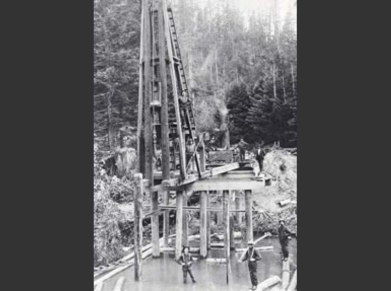
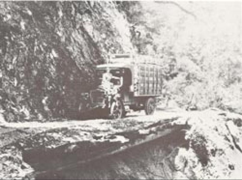
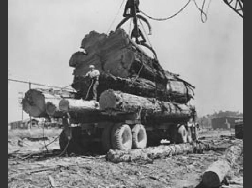
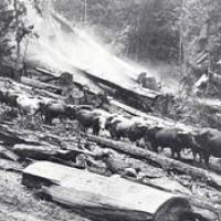
Cliff Putnam and his family have lived in the Annapolis area since the 1970s. Their 39-acres of vineyard use very little water. Prior logging operations in this area used creek beds as roads and only recently have the creeks begun to recover. The Putnams have completed extensive creek and forest improvements.

Seaview Vineyard
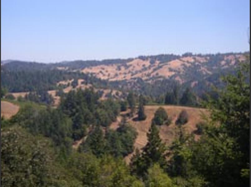
This 391-acre site stretches from the ridge top to the South Fork of the Gualala River and includes a large coniferous forest. The 30 acres of vineyards are located on the ridge top grassland. This area of the watershed was extensively logged in the 1950s and retains numerous eroding hillside roads from this era. As part of the vineyard development the old logging roads were repaired and storm proofed removing a source of sediment. See also Knights Valley site.

Wayfarer Farms
This 70-acre site is located in the headwaters of the South Fork Gualala River on a former organic vegetable farm. Vineyards, which occupy less than half of the site, are managed with no-till methods and extensive drainage improvements to conserve soil and avoid erosion. See also Waters Ranch in Suisun Creek watershed.