Documenting Compliance

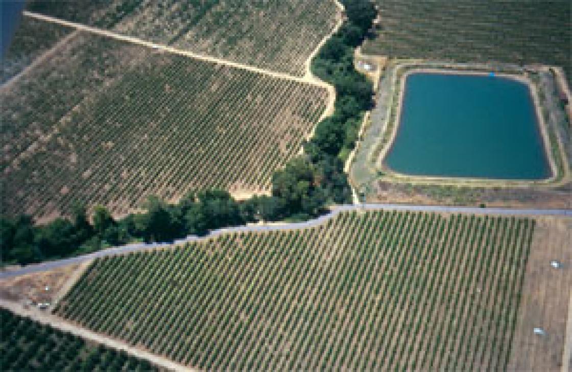
Photo-monitoring points are established as part of each Farm Conservation Plan. Each year the farmer photographs winterization of the farm, including all vineyards/orchards/fields and roads. Creek corridors are regularly photographed and records are kept of changes in the channel. All projects to control sediment, reduce water use, repair roads, revegetate creeks and retrofit water supply facilities are photographed.
Photo-monitoring demonstrates how the farmer is implementing the Farm Conservation Plan and applying the BMPs. Photo-monitoring also demonstrated how the farmer is managing the site in compliance with the federal Clean Water Act and Endangered Species Act. These laws direct actions to reduce non-point source contaminants such as fine sediment from entering waterways, protection of habitats such as creeks and riparian corridors for listed fish species, reduction of water temperatures through shading from plantings along creeks, and screening of diversions to avoid impacts to juvenile fish.
For the property owner, the Farm Conservation Plan and photo-monitoring provide documentation of regulatory compliance, reduced risk, and the assurance that the certified Plan is the set of practices and projects needed for the property.
In 2016 CLSI started requiring certified sites to complete an annual on-line audit to indicate BMPs used and if any major erosion problems have occured.

